Crop-health mapping
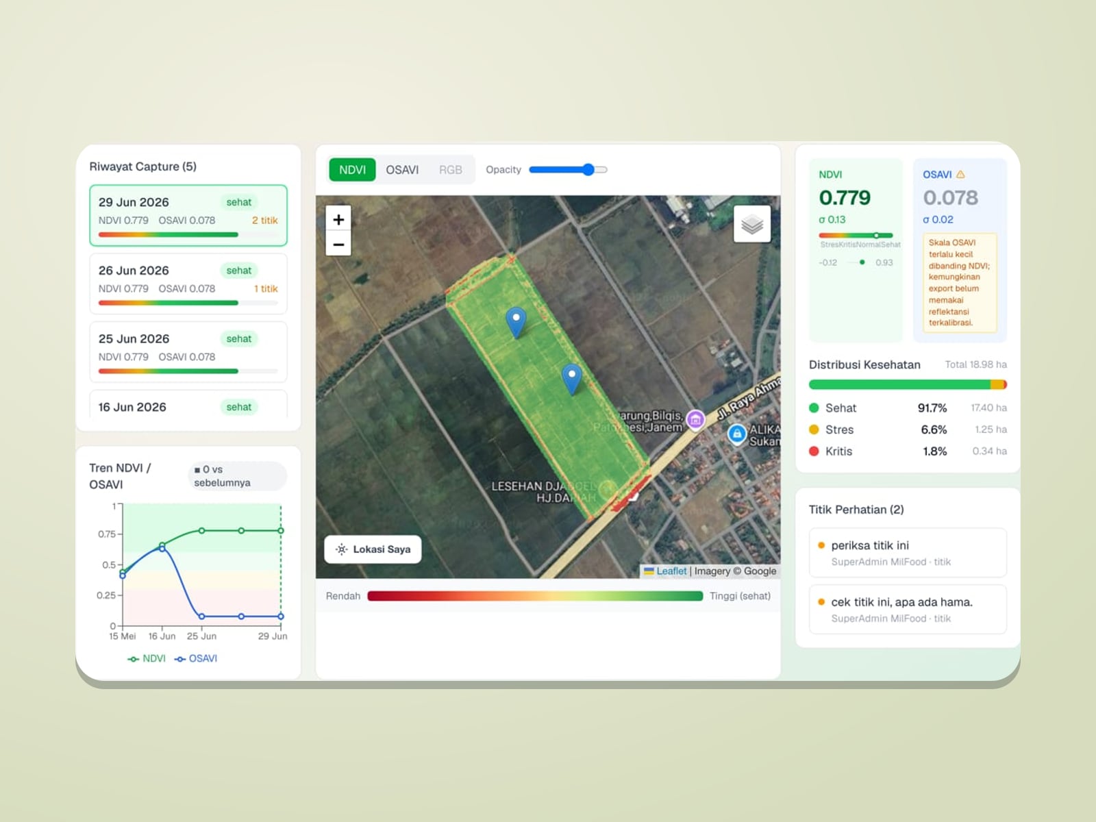
Drone & NDVIMultispectral drones capture each field; NDVI and OSAVI indices are mapped per plot to show healthy, stressed, and critical zones, with trends over time.
- NDVI & OSAVI
- Capture history per field

Technology · precision farming
As part of its investment, SAL equips its portfolio companies with precision-farming technology, so fertiliser goes in the right dose to the right place, input costs stay efficient, and every field and tree is traceable.
MilFood PADI
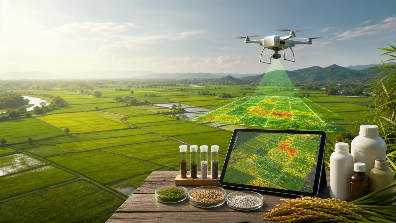
PADI is MilFood’s Field & Analysis platform for rice farming. It links drone operators, agronomists, the laboratory, and the fertiliser plant in one data flow, from aerial imagery to fertiliser recipes.
Multispectral drones capture each field; NDVI and OSAVI indices are mapped per plot to show healthy, stressed, and critical zones, with trends over time.
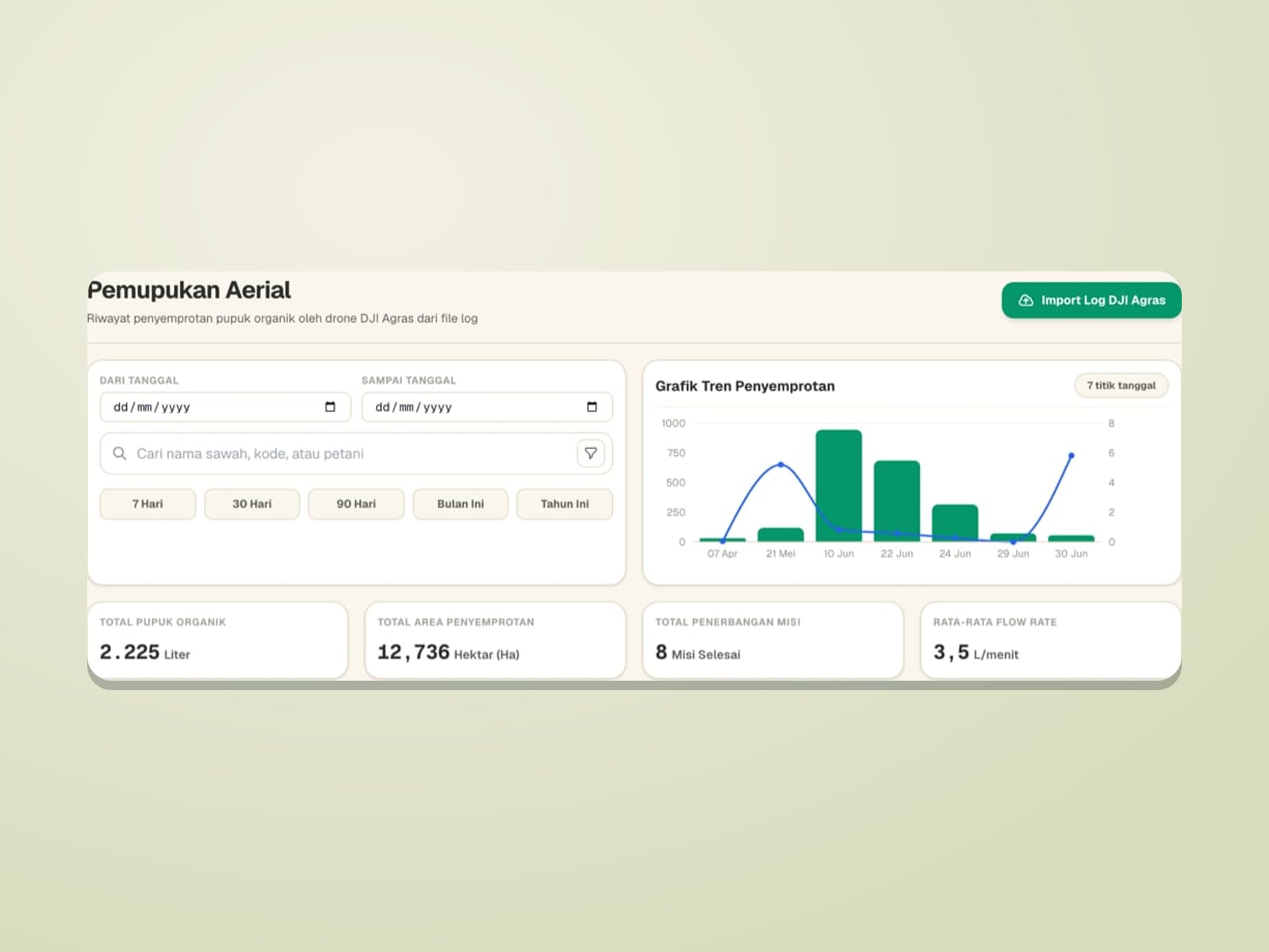
DJI Agras flight logs are imported into PADI, recording organic fertiliser volume, area covered, duration, flow rate, and spray path for every mission.
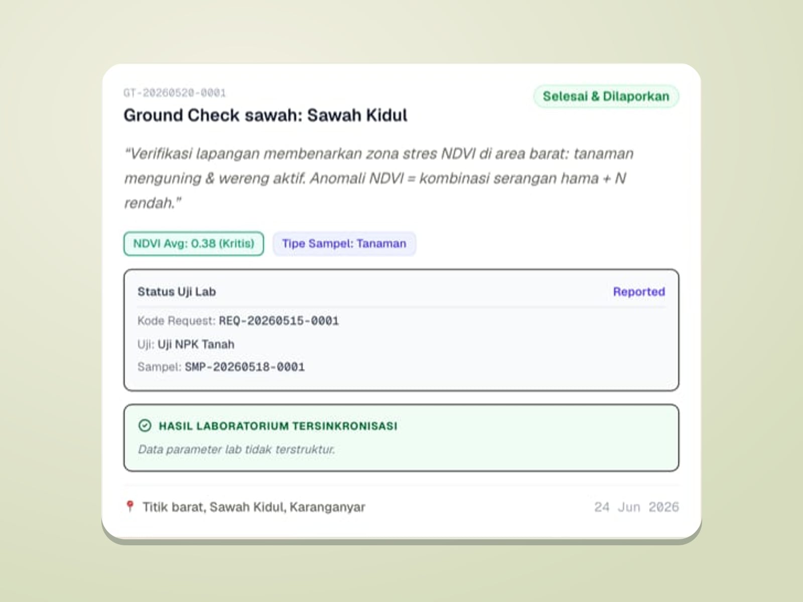
Anomalies on the NDVI map are verified by agronomists in the field; pest findings and samples are logged with GPS through a field app that also works offline.
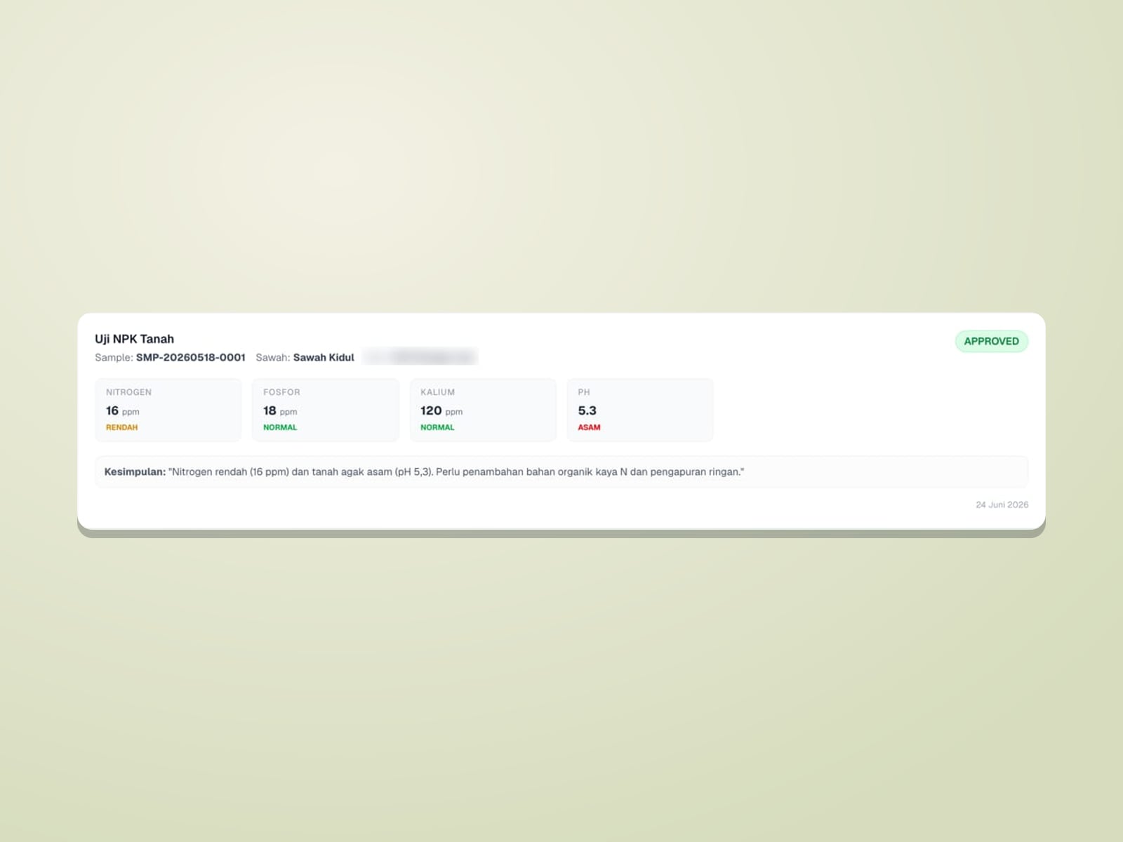
Samples are tested in the lab (NPK, pH, and more); the results drive organic fertiliser recipe recommendations from the Regen fertiliser plant.
Four roles connected in PADI (illustrations).
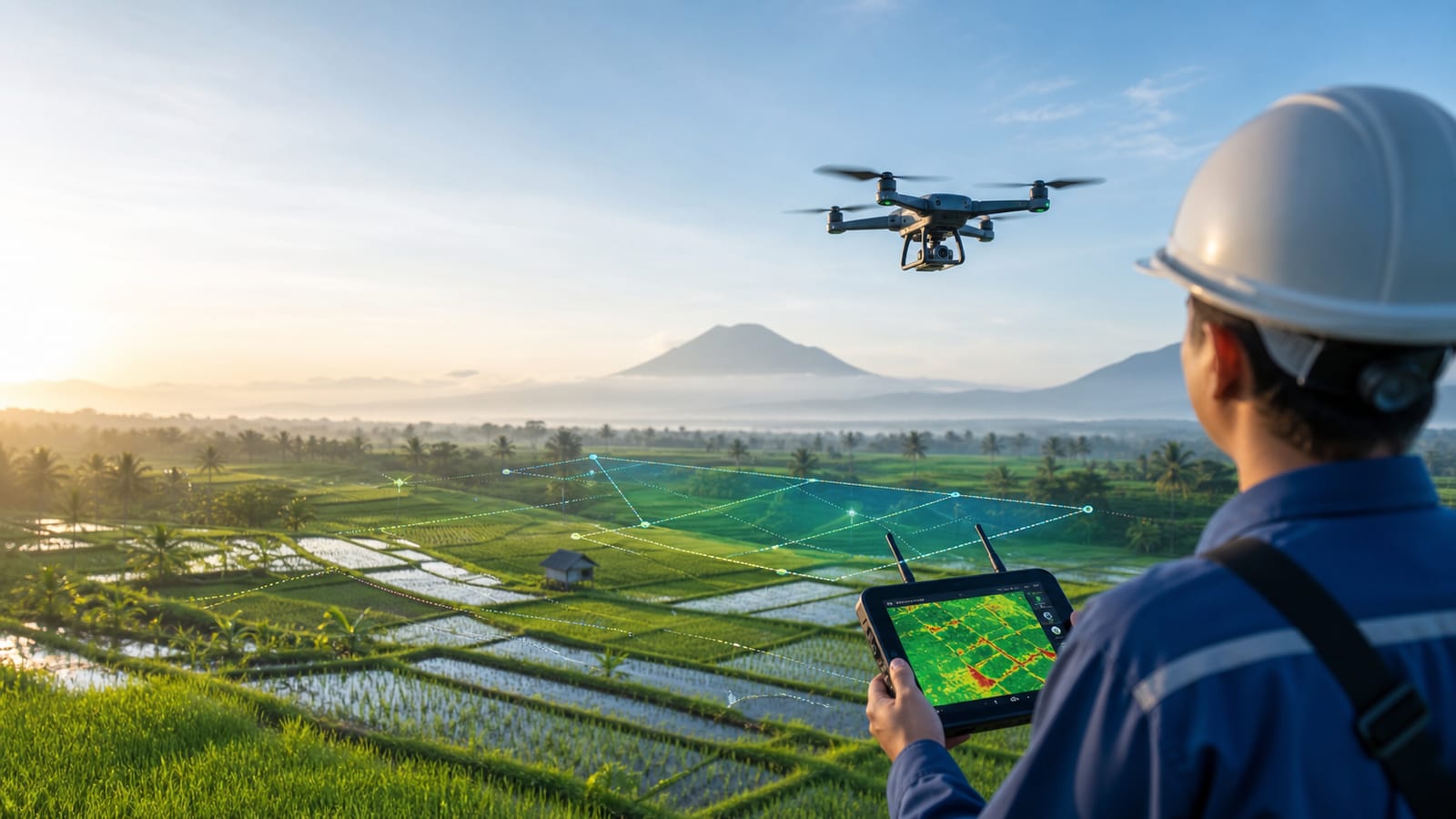
Maps fields and sprays fertiliser from the air.
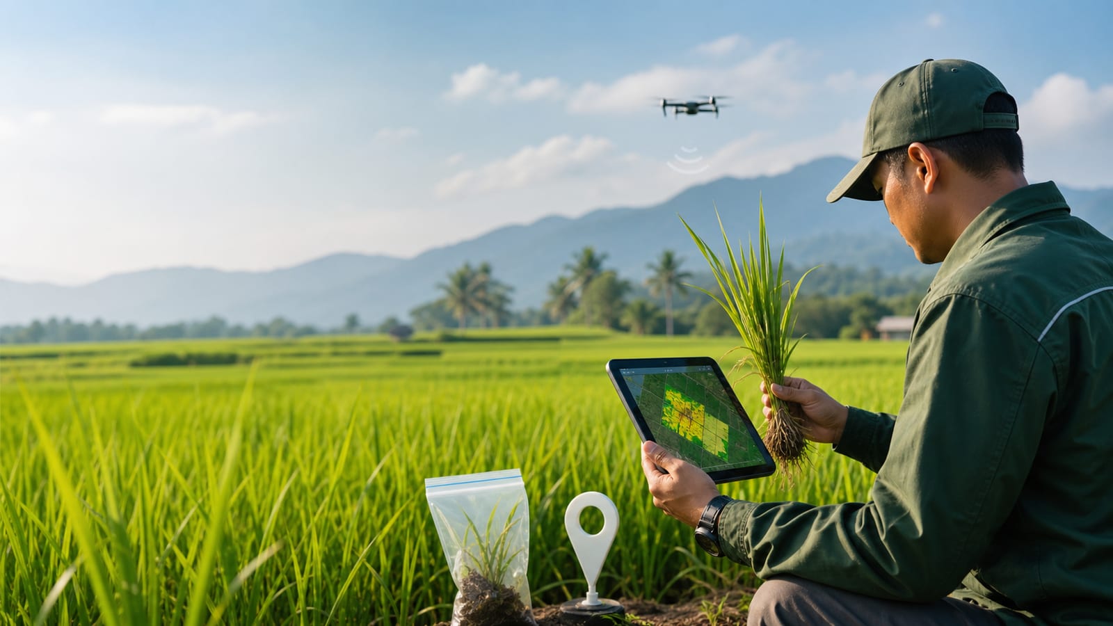
Verifies findings and takes samples in the field.
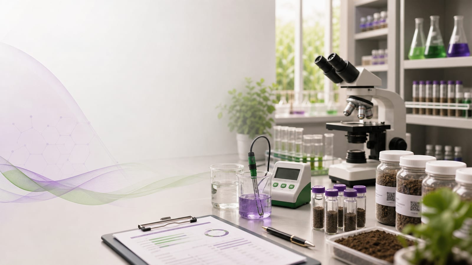
Tests soil and plants and issues result reports.
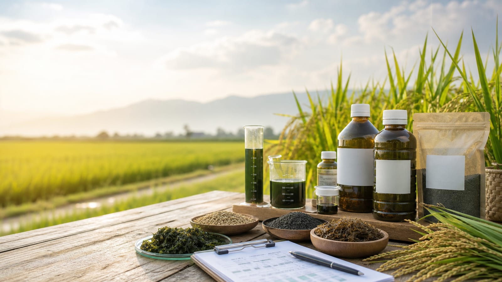
Blends organic fertiliser to lab-based recipes.
FAST
FAST (Fertilizer Application Supervision & Tracking System) supervises the application of Regen bio-fertiliser on partner aren palm plantations: every tree has a QR label and a GPS point, and every application is recorded and mapped.
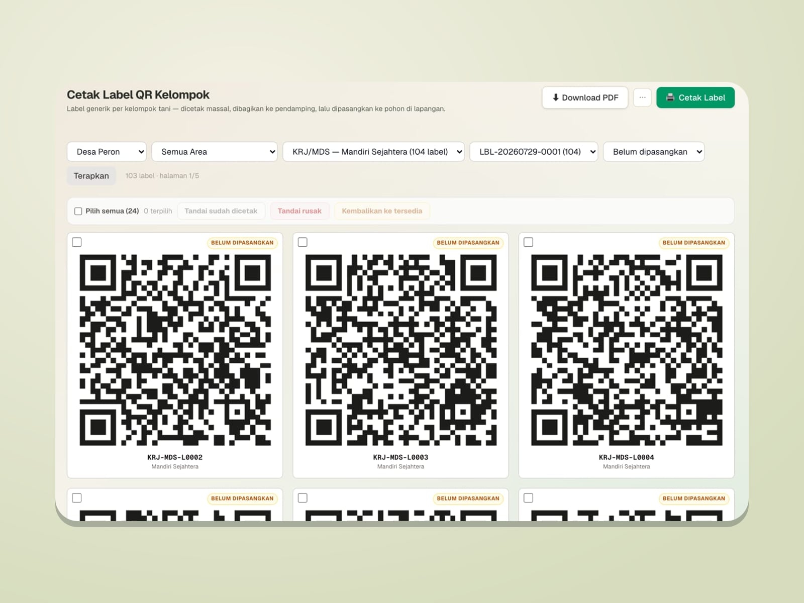
QR labels are printed per farmer group and fixed to the trees; field facilitators simply scan to log a dripper refill or a spray.
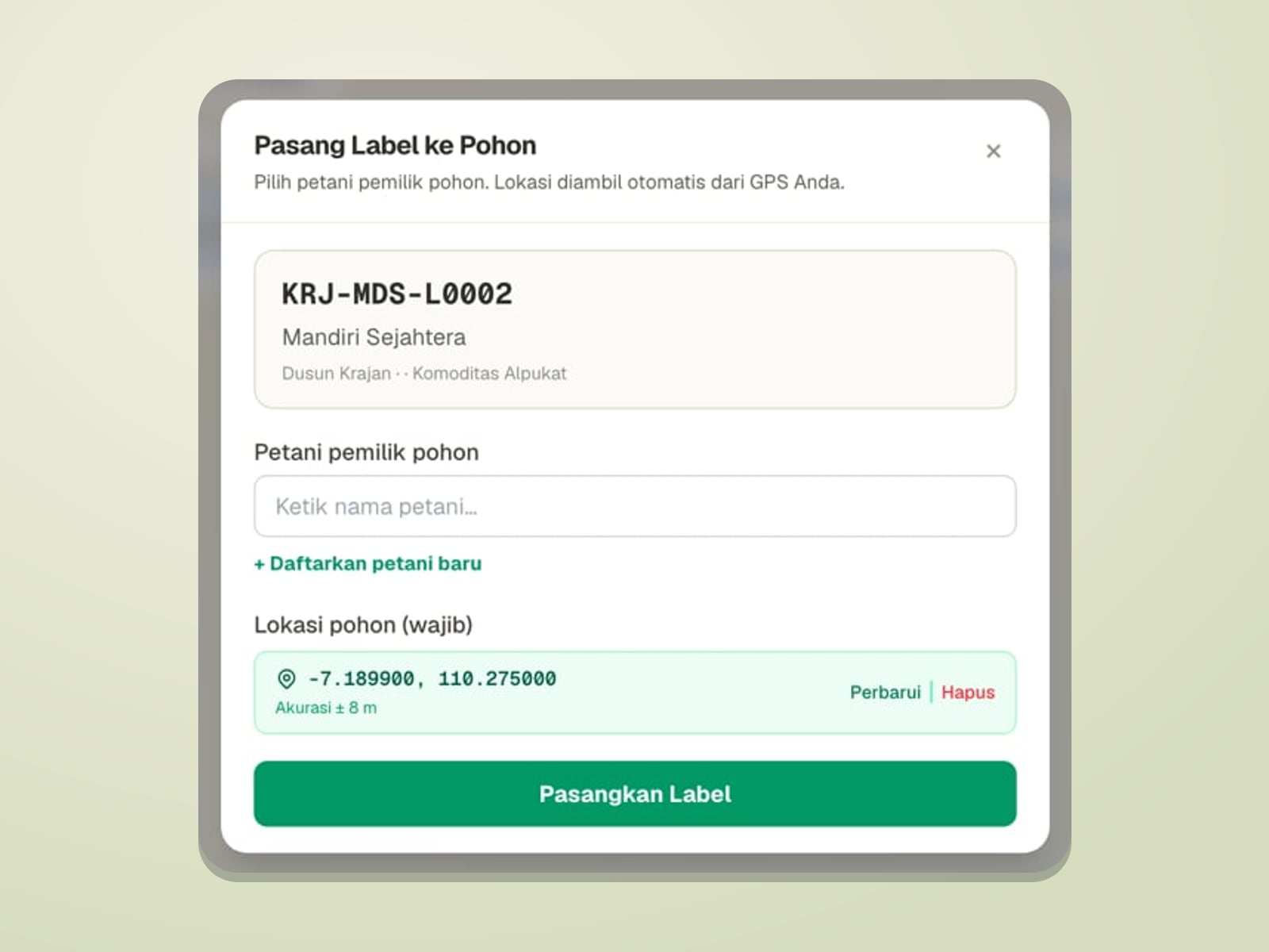
Each tree’s location is taken from GPS when its label is paired; tree distribution, plantation boundaries, and fertilisation progress per hamlet are shown on a GIS map.
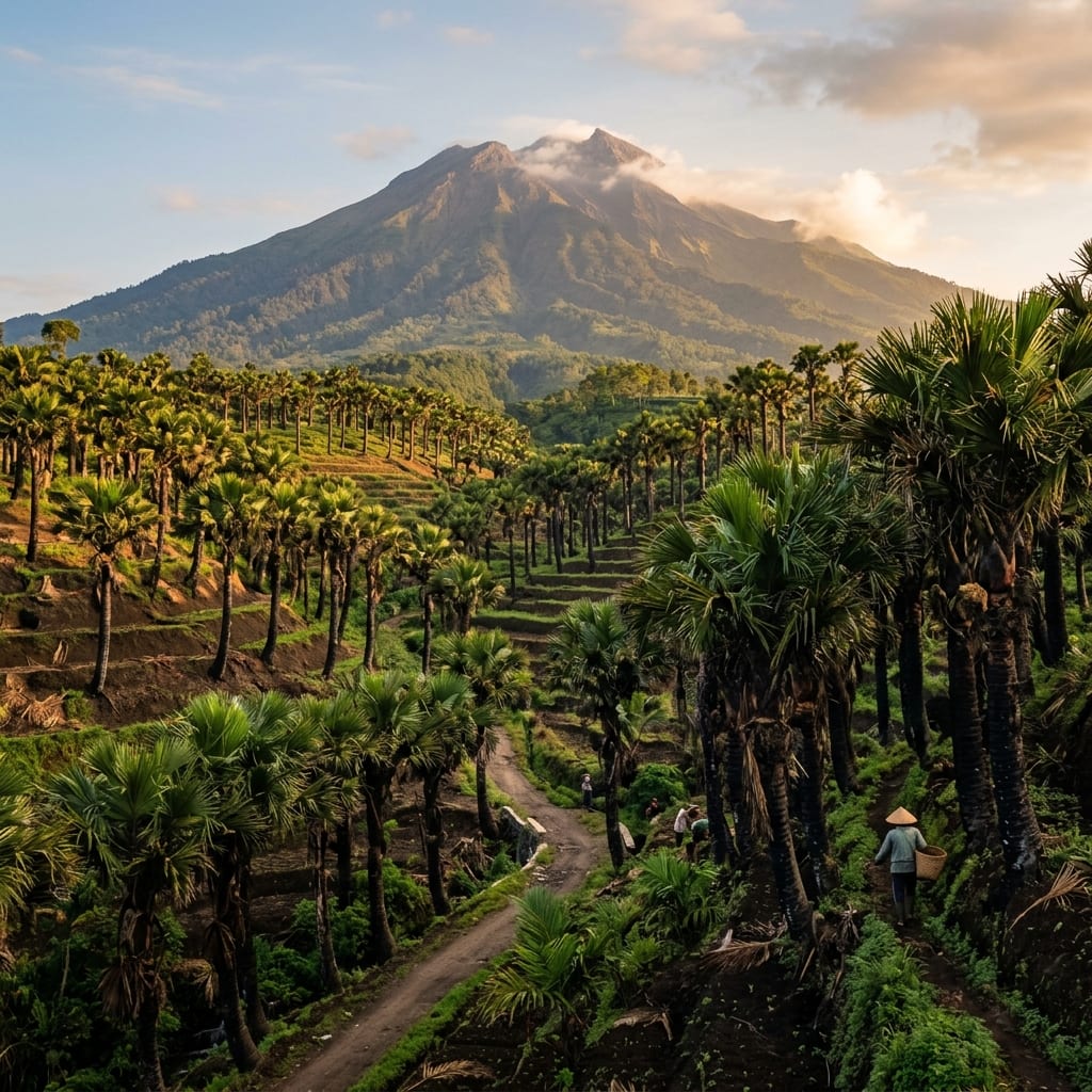
Fertiliser use is tallied per period, area, farmer, and tree, and compared with its allocation: the right dose in the right place.
We welcome partnerships with landowners, cooperatives, and agritech players to put precision farming to work.